Soils4Africa mapping
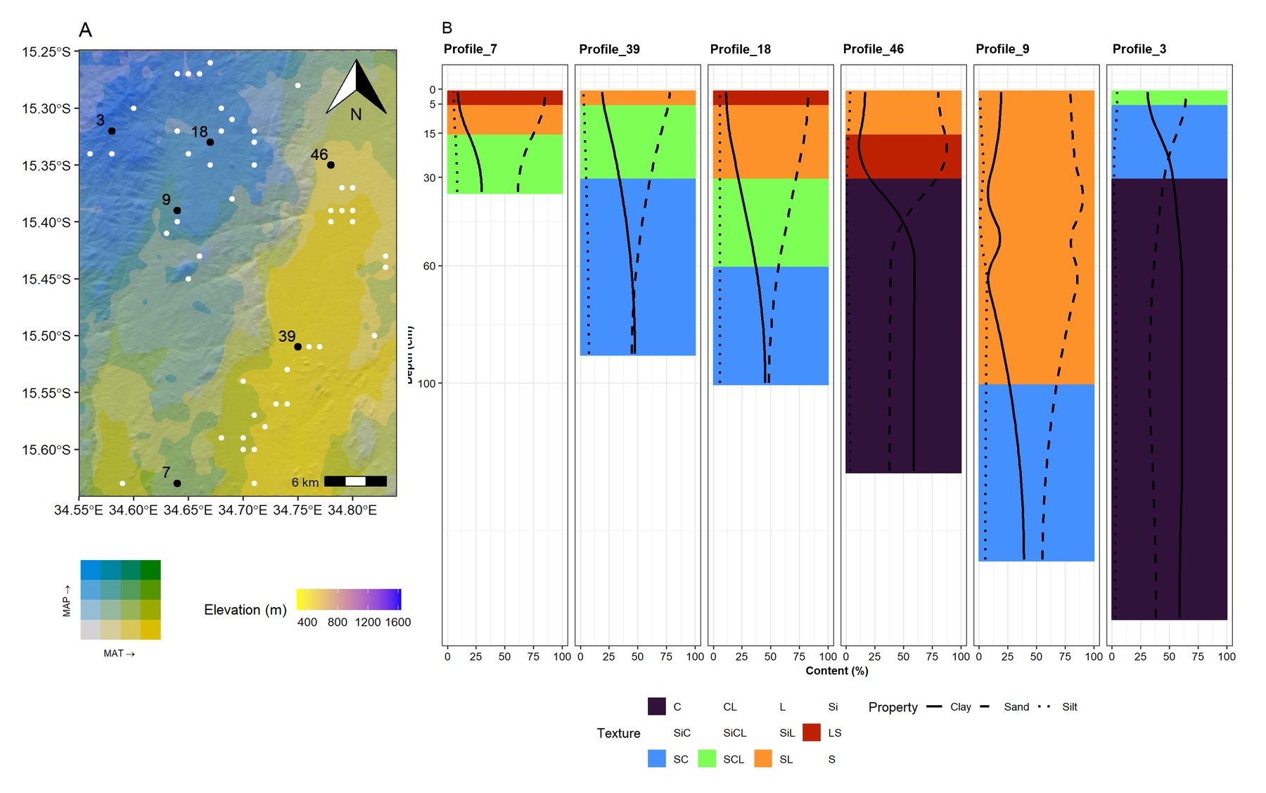
Soil properties mapped consistently with depth across Eswatini, Lesotho, Namibia and South Africa, so that maps no longer jump at every layer boundary. The research formed part of Soils4Africa, an EU Horizon 2020 project building an open-data Soil Information System to help farmers, agri-businesses, scientists and policymakers by improving the quality and availability of African soil data.
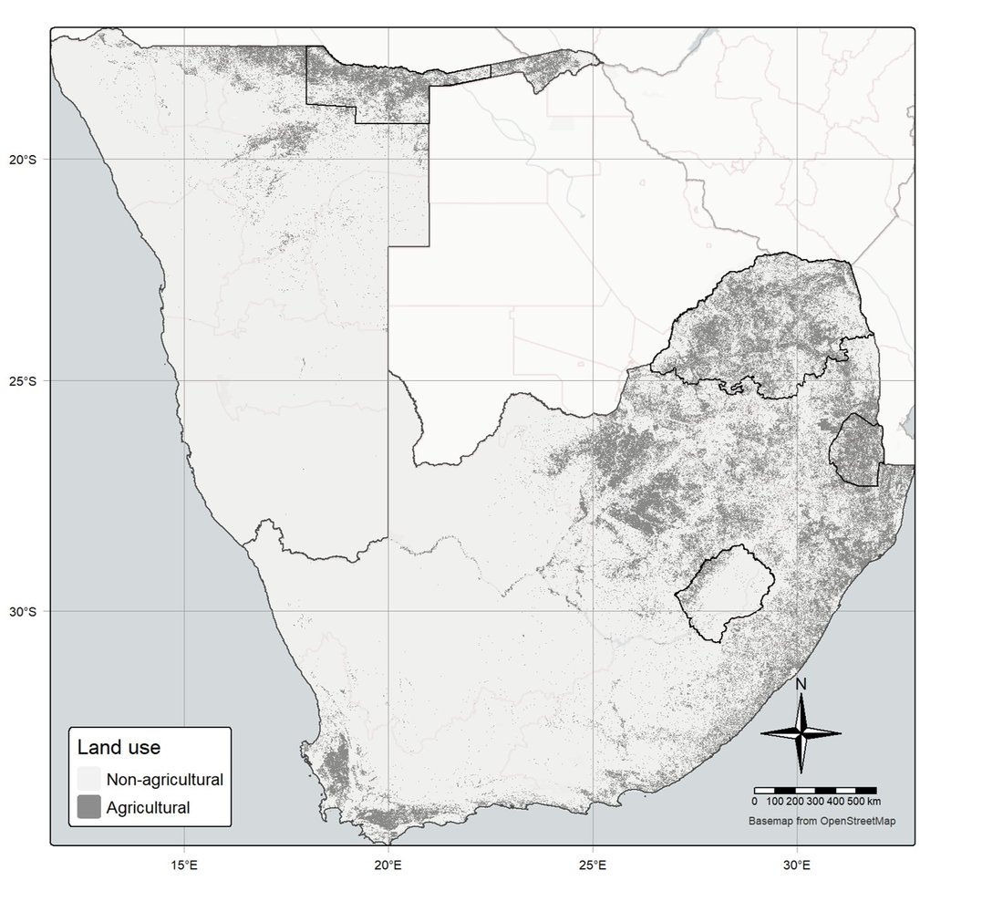
Sampling was sparse, only two horizons were sampled per profile, and the environmental gradients were extreme, so we developed a new method for the project: Integrated Soil Profile Mapping (ISPM). It builds on our earlier physics-informed depth spline (phySpline) and is now being extended to update existing soil maps and support decisions. See Cumulative knowledge.