Soils4Africa mapping

Under review
Knowledge
Southern Africa
Integrated Soil Profile Mapping (ISPM) reveals regional patterns of soil condition across Southern African agricultural lands.
Published

June 1, 2025

Soil properties mapped consistently with depth across Eswatini, Lesotho, Namibia and South Africa, so that maps no longer jump at every layer boundary. The research formed part of Soils4Africa, an EU Horizon 2020 project building an open-data Soil Information System to help farmers, agri-businesses, scientists and policymakers by improving the quality and availability of African soil data.
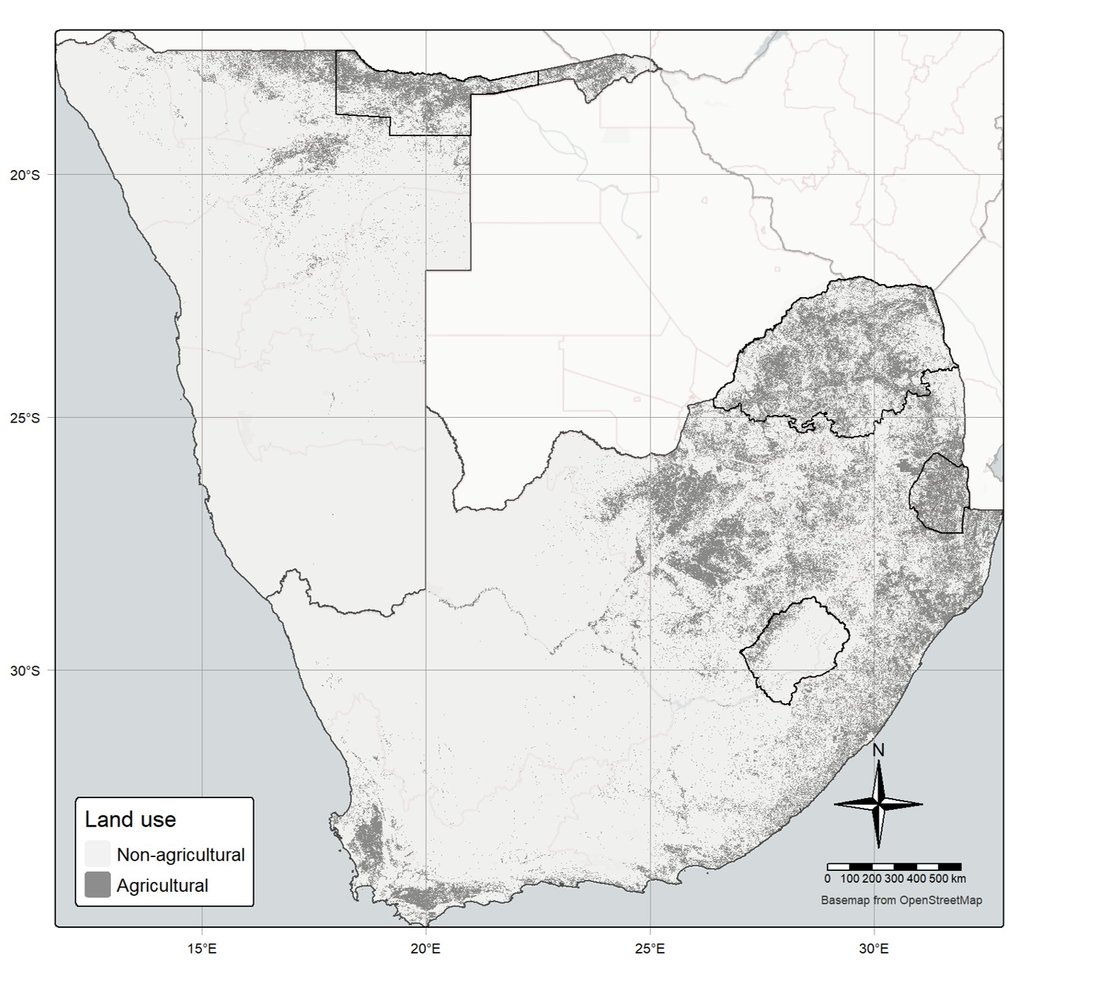
Map of southern Africa showing agricultural land in dark grey and non-agricultural land in light grey across Namibia, South Africa, Lesotho and Eswatini.

Agricultural land across the study area in Namibia, South Africa, Lesotho and Eswatini.

Sampling was sparse, only two horizons were sampled per profile, and the environmental gradients were extreme, so we developed a new method for the project: Integrated Soil Profile Mapping (ISPM). It builds on our earlier physics-informed depth spline (phySpline) and is now being extended to update existing soil maps and support decisions. See Cumulative knowledge.
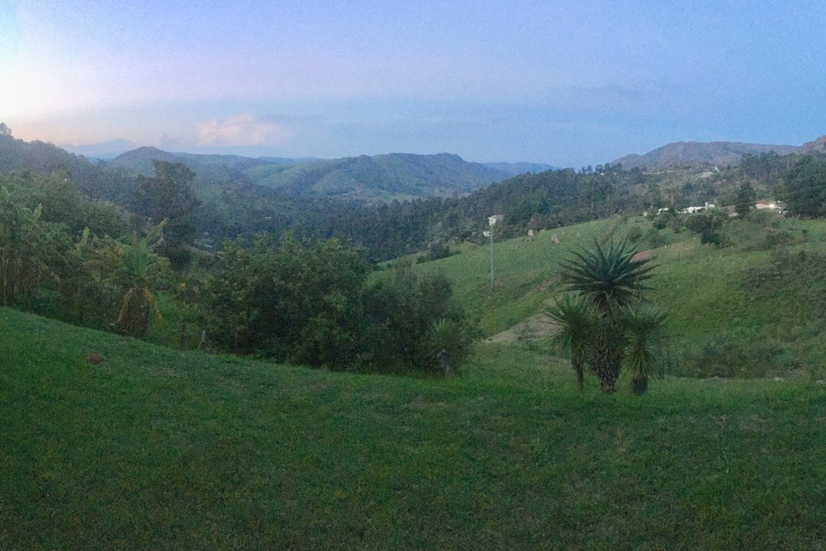
Green rolling hills and forested valleys at dusk, with an aloe in the foreground.

Humid highlands: eSwatini, near Sheba Rock.

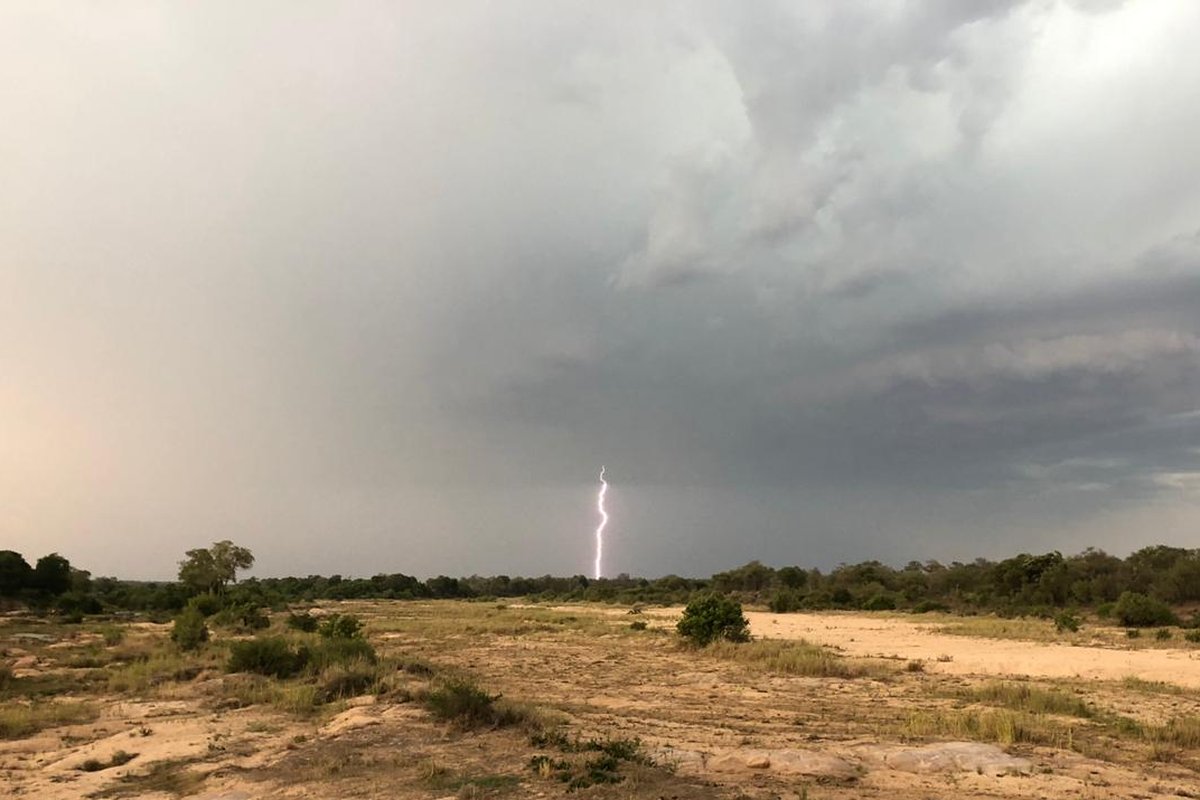
Lightning striking beyond a wide dry sandy riverbed lined with bush, under dark storm clouds.

Savanna: a storm over a dry sand river in Kruger.

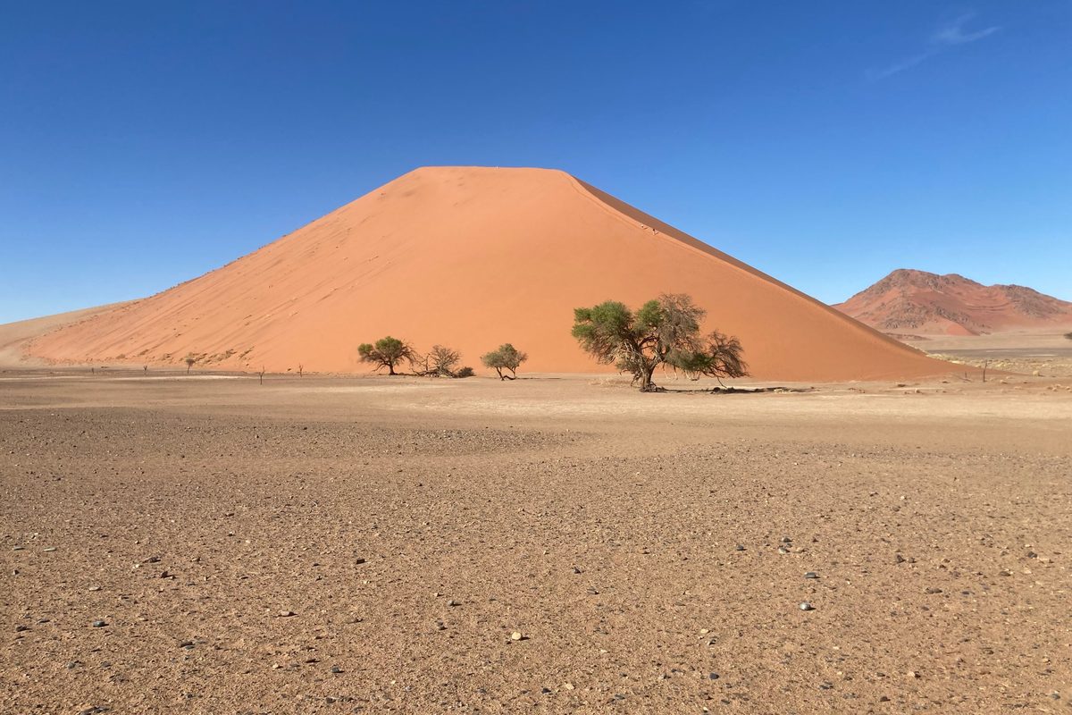
A tall red sand dune with a few camel thorn trees on a flat gravel plain under a clear blue sky.

Desert: dunes of the Namib. Soil organic carbon, organisms and water are present under the surface.

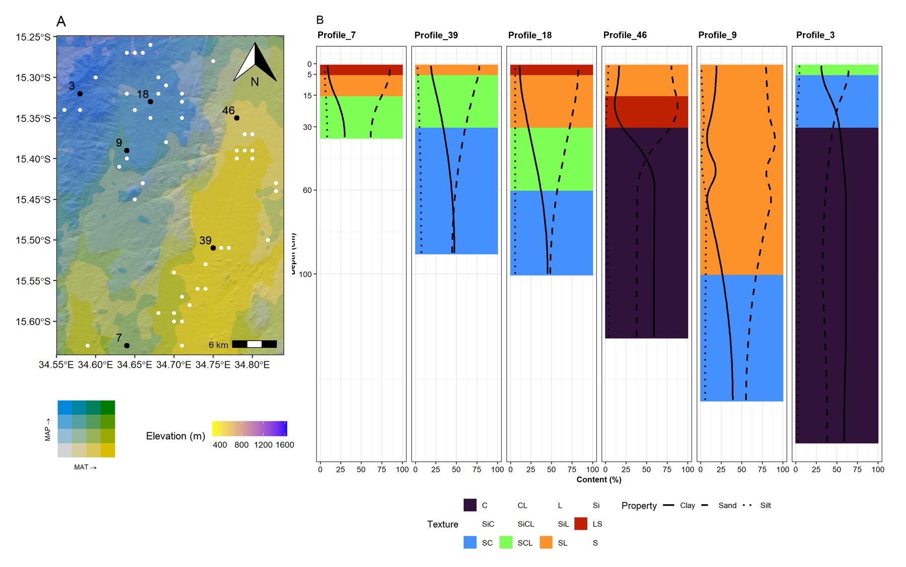
Left: a map of a Malawi study area shaded by rainfall, temperature and elevation, with numbered sample sites. Right: six soil profiles showing texture classes as coloured bands, with clay, sand and silt drawn as smooth curves down to about 150 cm.

Texture profiles in Malawi drawn as continuous curves with depth, beside the site’s climate and elevation (Flynn et al., 2026).

Preprint: Integrated soil profile mapping reveals regional patterns of soil condition across Southern African agricultural lands