Europe - Learning to See the Landscape
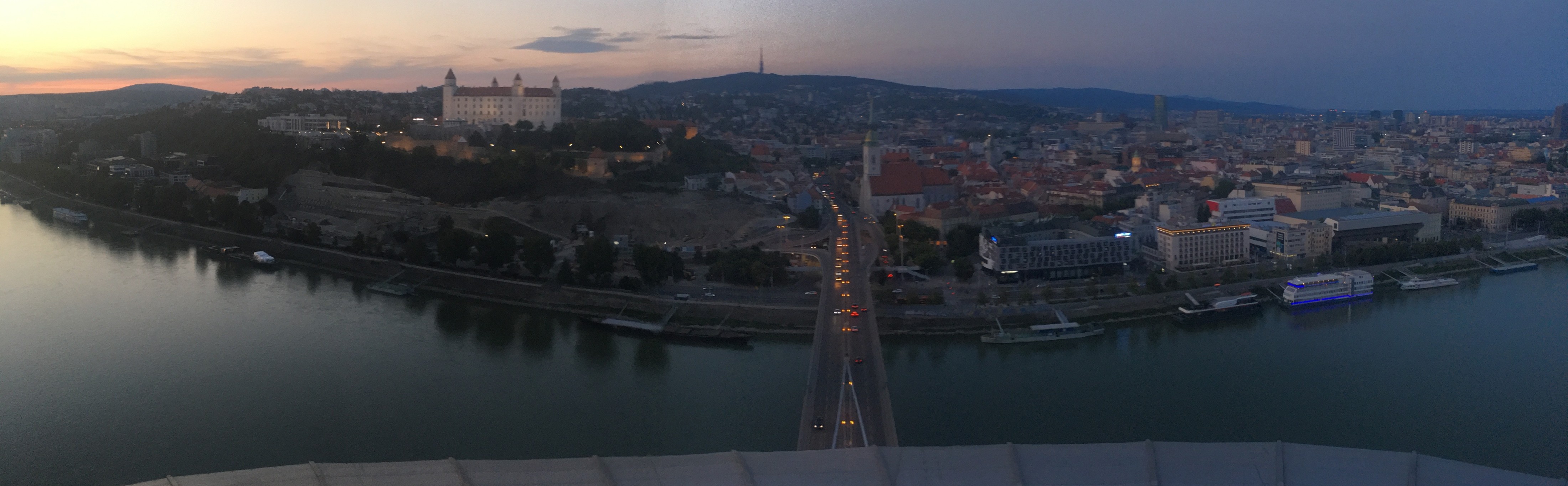
Beyond familiar ground
Europe was where RafikiArdhi’s research story first extended beyond Africa, beyond soil and plants. Through our first research experiences on another continent and our early independent research, we encountered new landscapes, new scientific traditions and different ways of approaching environmental questions such as the restoration of drained peat lands.
Working in unfamiliar places brought an important lesson: good science does not necessarily require the most advanced technology or the largest collection of data. It requires knowing what you are looking at and the curiosity to solve it.

Understanding the landscape
Technology can help us measure, model and visualise the environment, but it cannot replace an understanding of how a landscape works. Knowing the area — its soils, geology, history and the processes that shape it — can be more valuable than having access to ever more sophisticated tools.
This perspective continues to shape how RafikiArdhi approaches environmental research. Models should help us understand the landscape, not simply produce predictions about it. Methods are most useful when they are grounded in the places they are intended to represent.
In doing so, we have developed a suite of research tools and research checks that do not use any AI or machine learning. They are advanced methods developed not only for free use, but to demonstrate that access to knowledge and where that knowledge comes from is the most important tool RafikiArdhi has.
Lessons that travel
The experience of working across continents reinforced the value of combining quantitative methods with knowledge of place. Techniques can travel between regions, but their application must account for the conditions, processes and histories that make each landscape distinctive.
For RafikiArdhi, this remains central to our approach: use technology where it adds value, keep the science transparent and never lose sight of the landscape behind the data.
Working with the Biology Centre of the Czech Academy of Sciences in České Budějovice, we modelled ecosystem services across the whole of the Czech Republic. With the Department of Horticulture at the University of Bonn, we worked on decision analysis for agroforestry systems across the wider European Union.
Both projects ran into COVID-19. Travel stopped, fieldwork was put on hold and the plans we started with no longer worked. What remained was a laptop, open satellite data and what we knew about the landscapes.
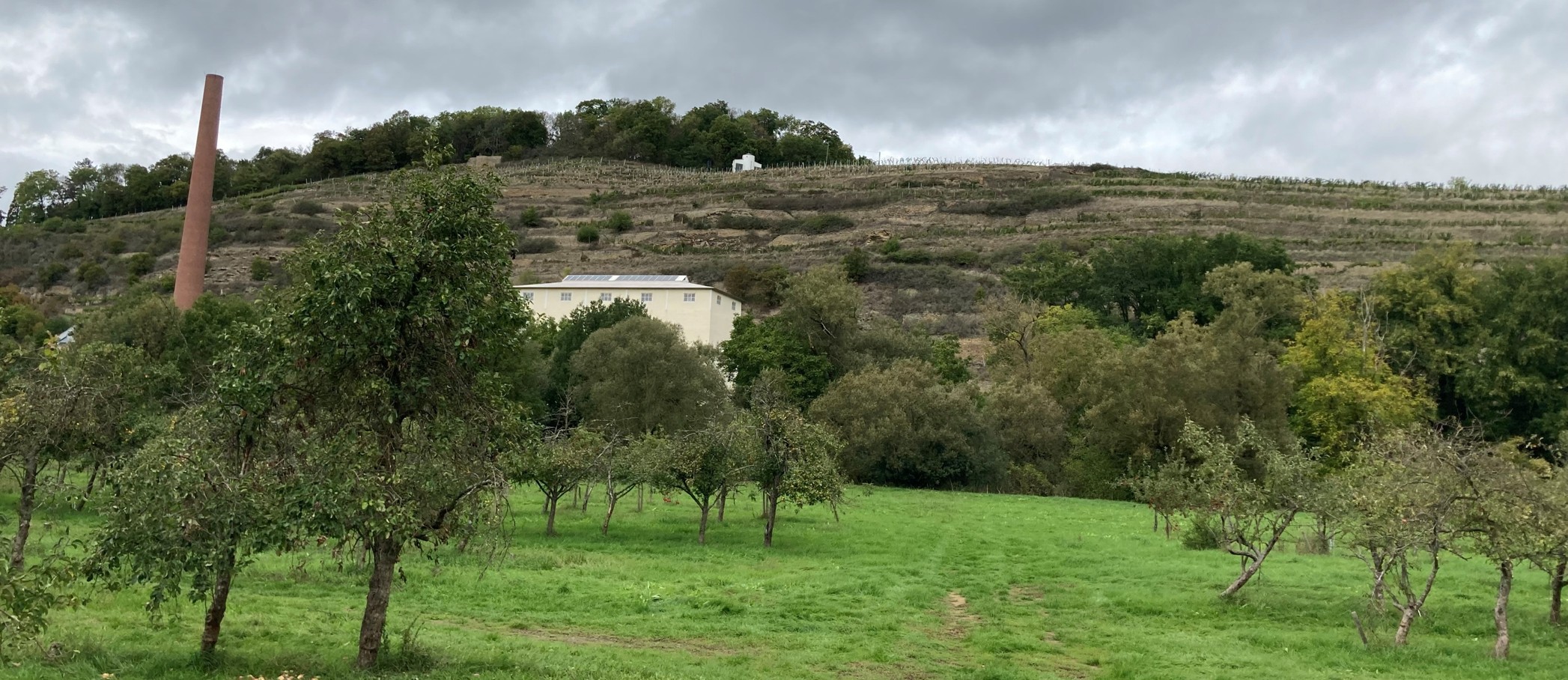
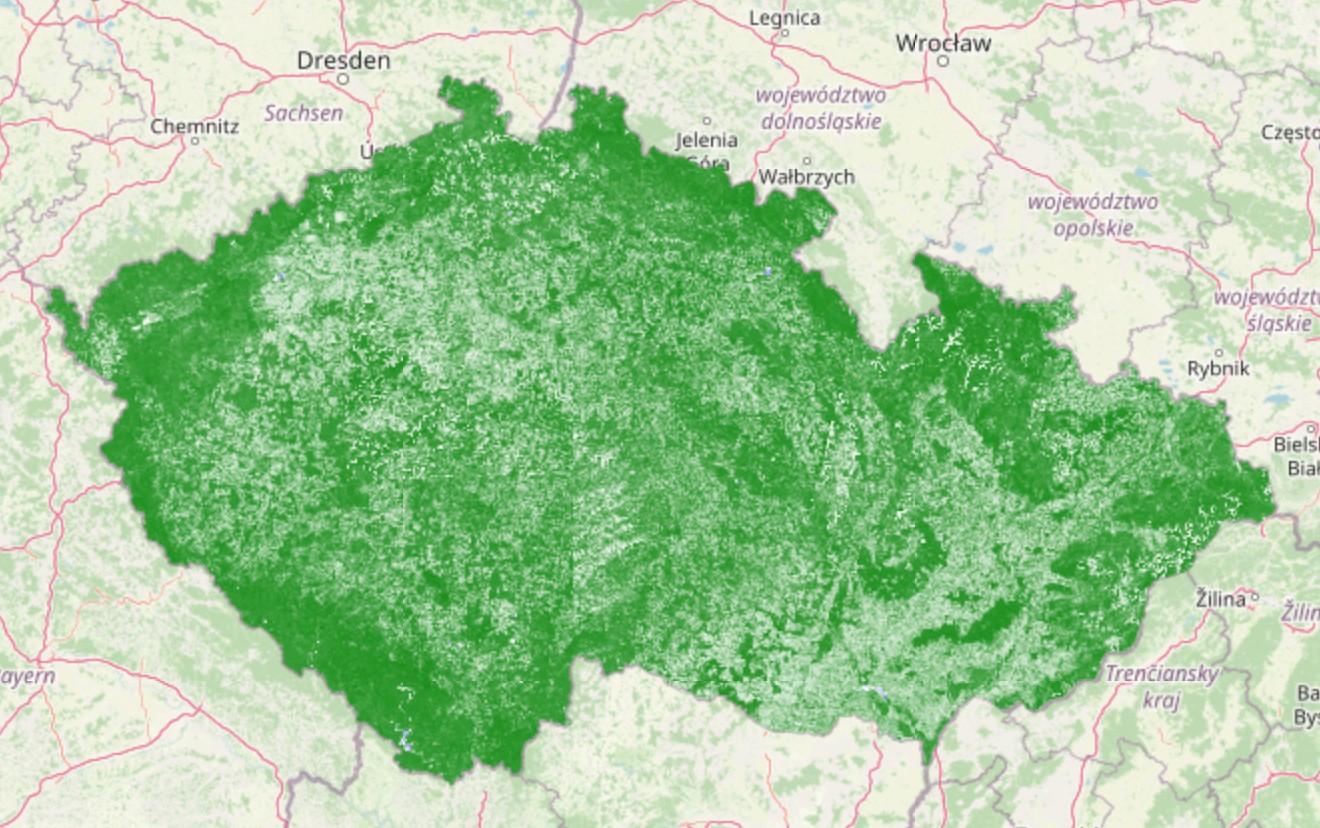
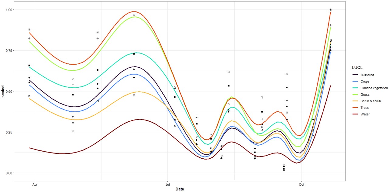
It was enough. The national vegetation analysis below ran on an ordinary laptop. Decision analysis is built for exactly this situation: it works with what is known, states the uncertainty about the rest, and still gives an answer people can act on. Neither project needed more technology. Both needed a clear understanding of the systems being studied.